HSAT Satellite Image Processing and Field Mapping with Advanced Technology
Business Requirements
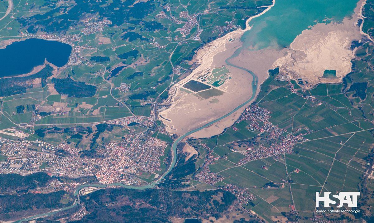
Our client asked us to create a web application that can work with satellite pictures and map out different areas accurately. Essentially, the web app should convert unprocessed CSV location data into organized field polygons, enabling efficient land analysis. They wanted us to use smart computer techniques to enhance the satellite pictures and make it easy to get the information they need. This project will allow important people to make smart choices about plants and land by using easy and modern methods.
Business Challenges
-
Converting raw CSV location data into organized and accurate field polygons was a complex task that required advanced data transformation techniques.
-
The implementation of sophisticated image processing algorithms, including NDVI and RGB image generation, posed technical hurdles.
-
Seamless integration of third-party services for satellite image metadata retrieval and storage was vital to ensure data availability.
-
Processing large volumes of satellite images efficiently while maintaining high performance was a significant challenge.
-
Generating precise GeoJSON files from the processed field polygons was essential for accurate mapping and analysis.
-
Developing scraping scripts for various websites to collect historical and current data added complexity to the project.
Business Solutions
Our team at ScalaCode started a project called HSAT. It's a web app that uses modern tech to process satellite images and map out fields effectively. We used Python to automate tasks, AWS for a secure and flexible online platform, and special computer programs to enhance satellite pictures. With this tech mix, we made it easy to turn basic location data (CSV) into clear field shapes for fast and accurate land analysis. We also connected our solution to third-party service provider tools to add some extra features to get more information about the satellite pictures, like when and where they were taken, and made sure it's easy to get that info whenever you need it.
Key Features
- Automated conversion of CSV data into organized field polygons.
- Complex algorithms for NDVI and RGB image generation.
- Third-party service integration for data retrieval and storage.
- AWS-based infrastructure for handling large image volumes.
- Accurate GeoJSON file creation from field polygons.
- Specialized web scraping for diverse data sources.
- Modular design for different user roles.
- Workflow automation for time savings.
Technology Stack
-
 Python
-
 AWS
AWS